Details.
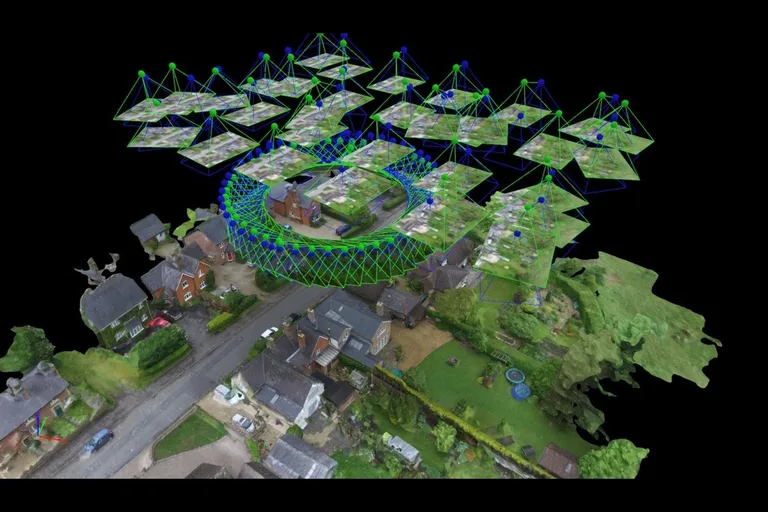
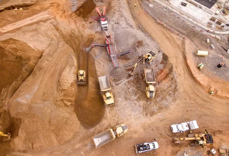
Drone mapping service delivering high-resolution orthomosaics, digital elevation models, and detailed 3D reconstructions with survey-grade, centimeter-grade accuracy. Uses RTK-enabled drones and photogrammetry to capture precise geospatial data for construction, infrastructure, land development, topographic analysis, site planning, environmental monitoring, and GIS workflows. Deliverables may include TIFF orthomosaics, textured 3D mesh models, point clouds, and contour maps, with ground control point support and integration with GIS and CAD tools.