Details.
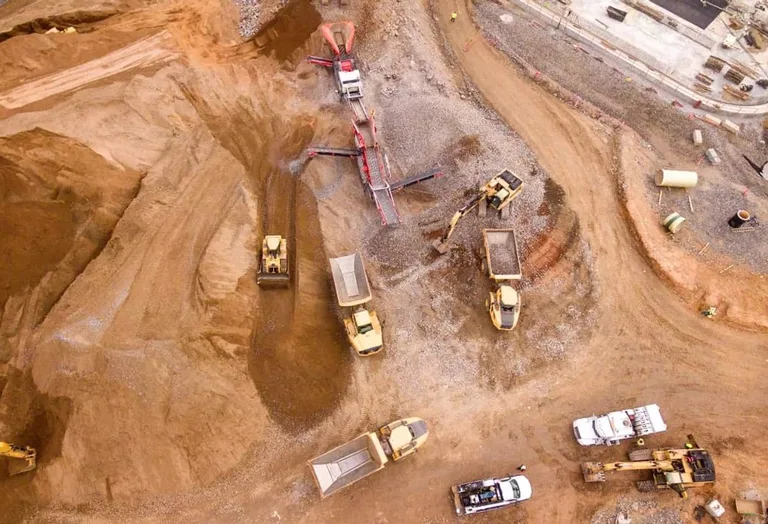
Generate high-resolution orthomosaic maps, elevation models, and 3D reconstructions. Ideal for construction planning, topographic analysis, and GIS integration.
at K+ · New York
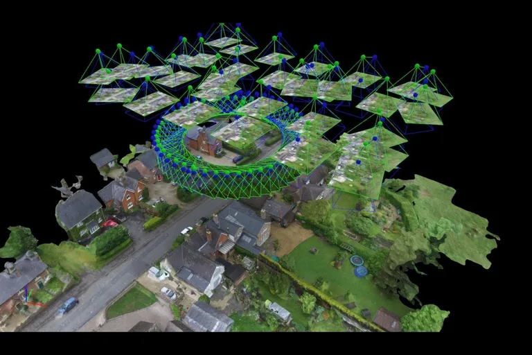
Generate high-resolution orthomosaic maps, elevation models, and 3D reconstructions. Ideal for construction planning, topographic analysis, and GIS integration.
Get the app to book and see what else is on nearby.