Details.
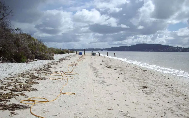
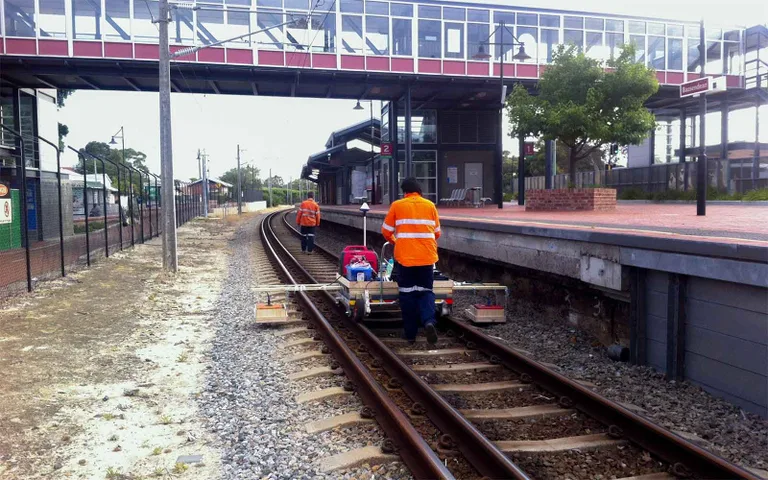
Detailed subsurface mapping for water infrastructure construction, land development and risk assessment. Includes bathymetric depth measurement for dam volume calculations and sediment characterisation, marine seismic surveys, bedrock assessment for water retention basin design, asbestos pipe condition inspections, underground service location, and pipeline route geotechnical information.