Details.
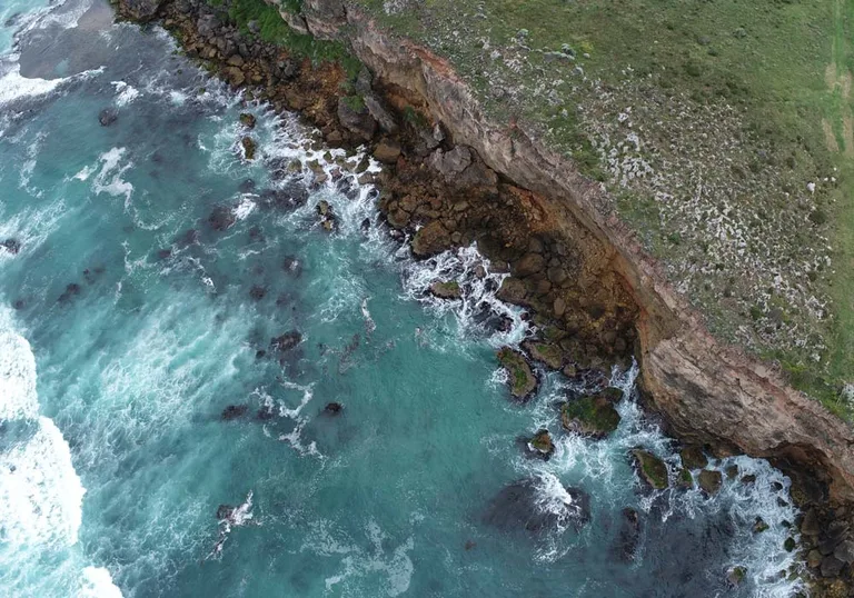
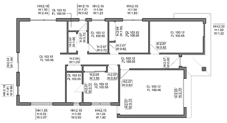
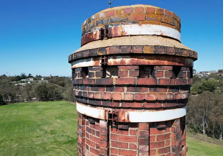
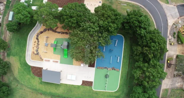
High resolution aerial imagery produced by stitching together hundreds of images with specialised software. Typical imagery resolution is 1 to 3 cm per pixel, with deliverables suitable for surveying, mapping and analysis.
at Swanson Surveying · Melbourne
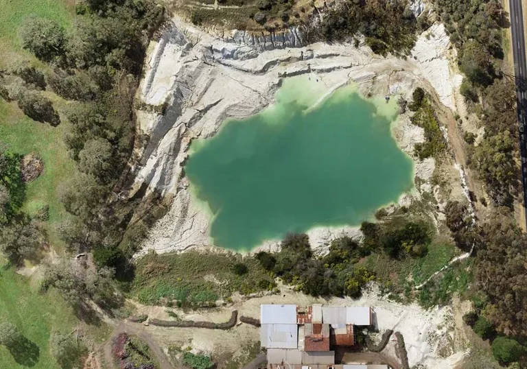
High resolution aerial imagery produced by stitching together hundreds of images with specialised software. Typical imagery resolution is 1 to 3 cm per pixel, with deliverables suitable for surveying, mapping and analysis.
Get the app to book and see what else is on nearby.